From drought to dust bowl
by Ellen Rocco on October 24th, 2012
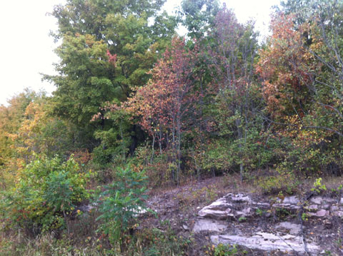
It was a dry summer around here. I took this photo in August, when the landscape looked a lot like late September to me. Some farmers were able to take a second cut of hay in September; many never saw the hay return from the drought-y months of July and August. But now, in mid-fall, water levels have returned to what looks like near-normal conditions.
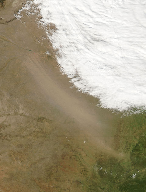
In the Great Plains, there’s another story, captured dramatically by satellite photography from NASA. Check out the article here.

Here’s the image of the Great Plains from the NASA story. The sandy looking area on the left is wind-born dust; the white area on the right is cloud cover.
Tags: agriculture, drought, dust bowl, mid-West, NASA


.png)
