Spring: ice to water
by Ellen Rocco on April 11th, 2011
Snapped these on my Saturday drive back from NYC to the St. Lawrence Valley, through the Adirondacks.
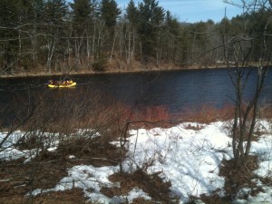
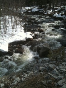
13th Lake Brook empties into the Hudson, not far from where I caught these rafters at the end of their run.
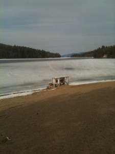
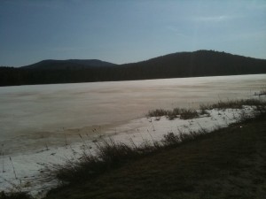
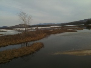
Long Lake still pretty frozen, except for open water where Racquette flows. But the sand reminded me of coming summer.
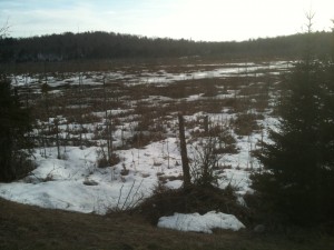
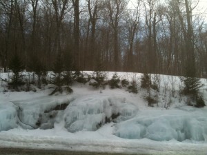
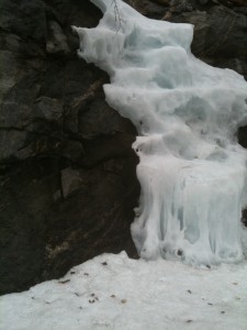
Round Pond Bog, between Piercefield and South Colton--still some snow, but ice turning quickly to water.
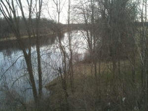
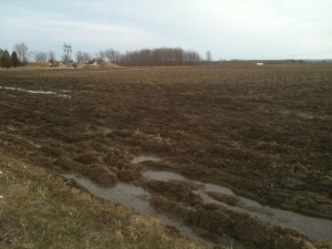
The Oswegatchie River in Old DeKalb, about 15 miles from where it empties into the St. Lawrence River.
From water to ice to water, that’s a big chunk of geography under the NCPR radio waves.
Happy spring.
Tags: spring





“…that’s a big chunk of geography under the NCPR radio waves.”, whose waves, we trust, will never be frozen.
And today, I bet there IS some green in that pasture.