


The Seaway and Kouchibouguac: parks displacing people
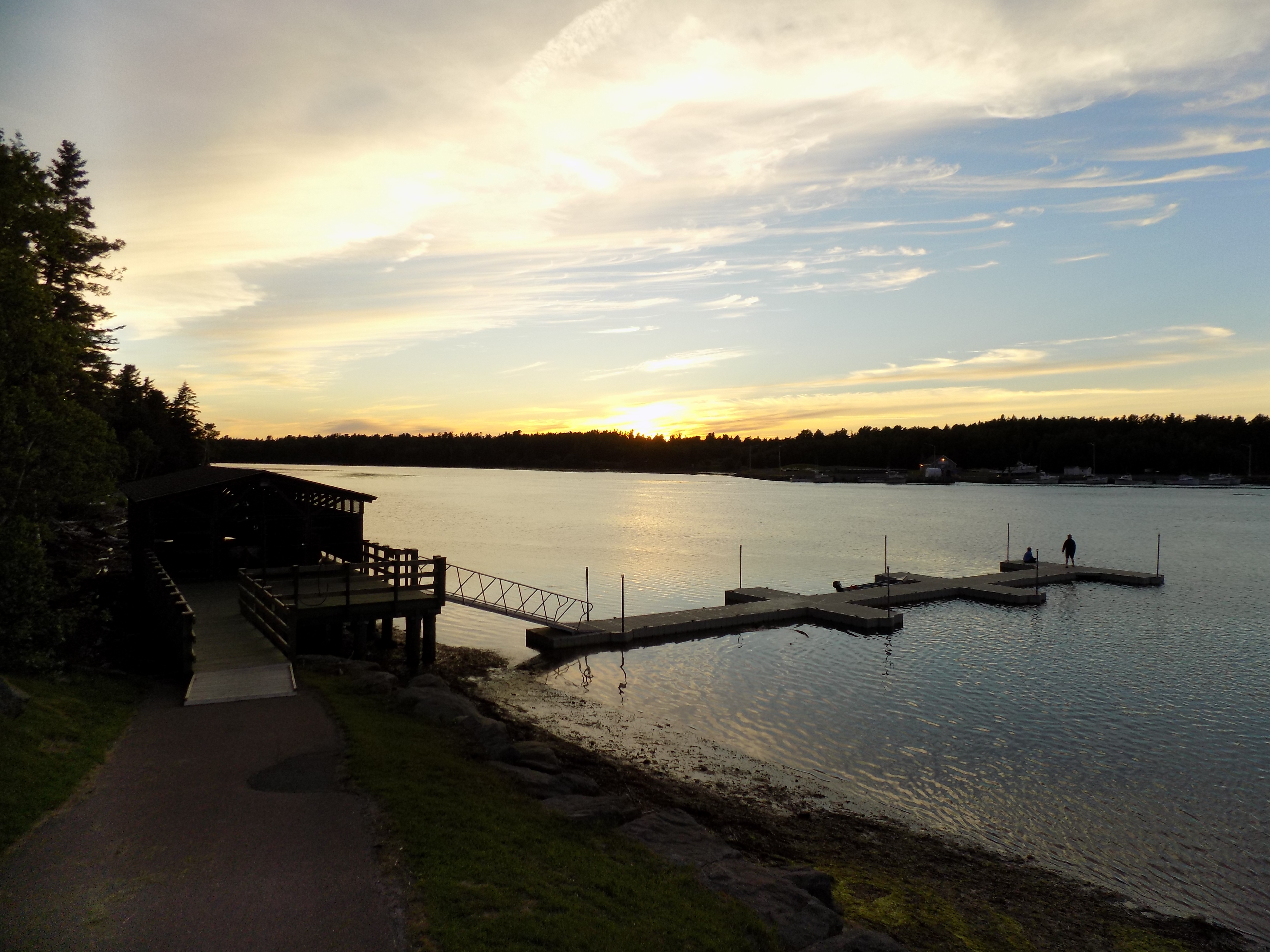
Late in the day at the mouth of the Kouchibouguac River. Loggiecroft wharf is located on the other side. Photo by James Morgan
Have you ever gone somewhere and felt like you were invading someone else’s home? I get that feeling when I visit the parks on either side of the St. Lawrence River between the Ogdensburg Bridge and Cornwall/Akwesasne.
Thousands of acres of farmland, along with homes, and entire villages were lost to flooding from the construction of the Seaway in the 1950s. Recently, when I visited Kouchibouguac (pronounced “koo-she-boo-gwack”) National Park, on the Northumberland Strait coast in New Brunswick, I saw the same thing happened there but, unlike the Seaway which tamed and altered nature, the park was created to preserve it.
The 92 square mile/238 square kilometer park was created in 1969 to protect sand dunes, barrier islands, salt marshes, and coastal forests. Moose, black bear, and endangered shore birds inhabit the park.
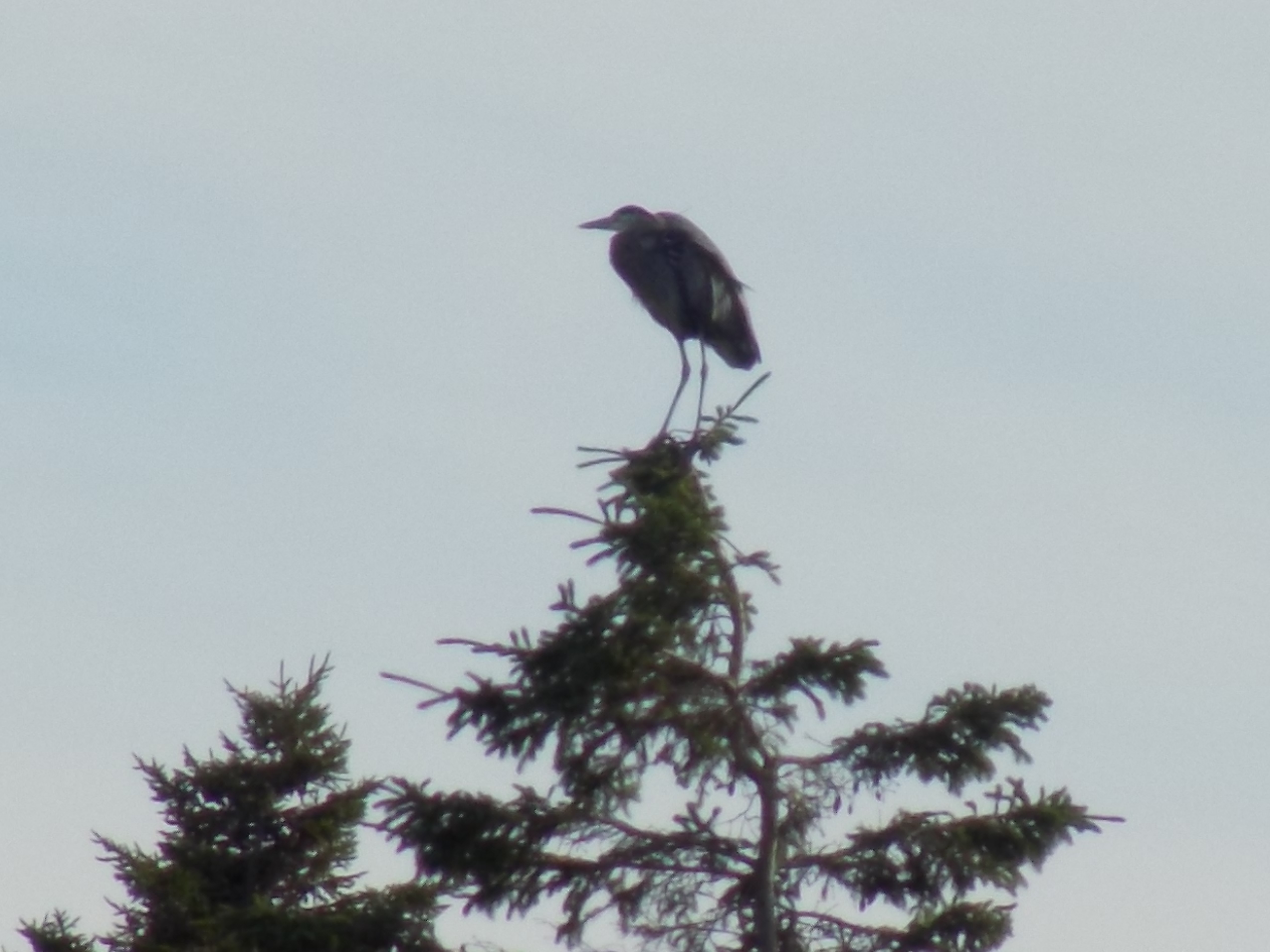
A heron atop a spruce tree in Kouchibouguac National Park. Photo by James Morgan
There was an economic and political agenda too. The park contained some of the most impoverished communities in New Brunswick. Officials thought the mostly French-speaking Acadian residents would benefit from relocating. For many, the relocation was compared to the expulsion of the Acadians by the British government in 1755.
As it turned out, compensation offered for lost property was half of the market value in some cases. Farmers lost their land, fishermen lost their boats and licenses. Some fishermen ignored the closure of their wharves and used them anyway. One resident, Jackie Vautour, was repeatedly evicted from his property and faced legal action. He returned in 1978 and has quietly squatted in the park ever since. In total, seven small communities and 1,200 people were affected.
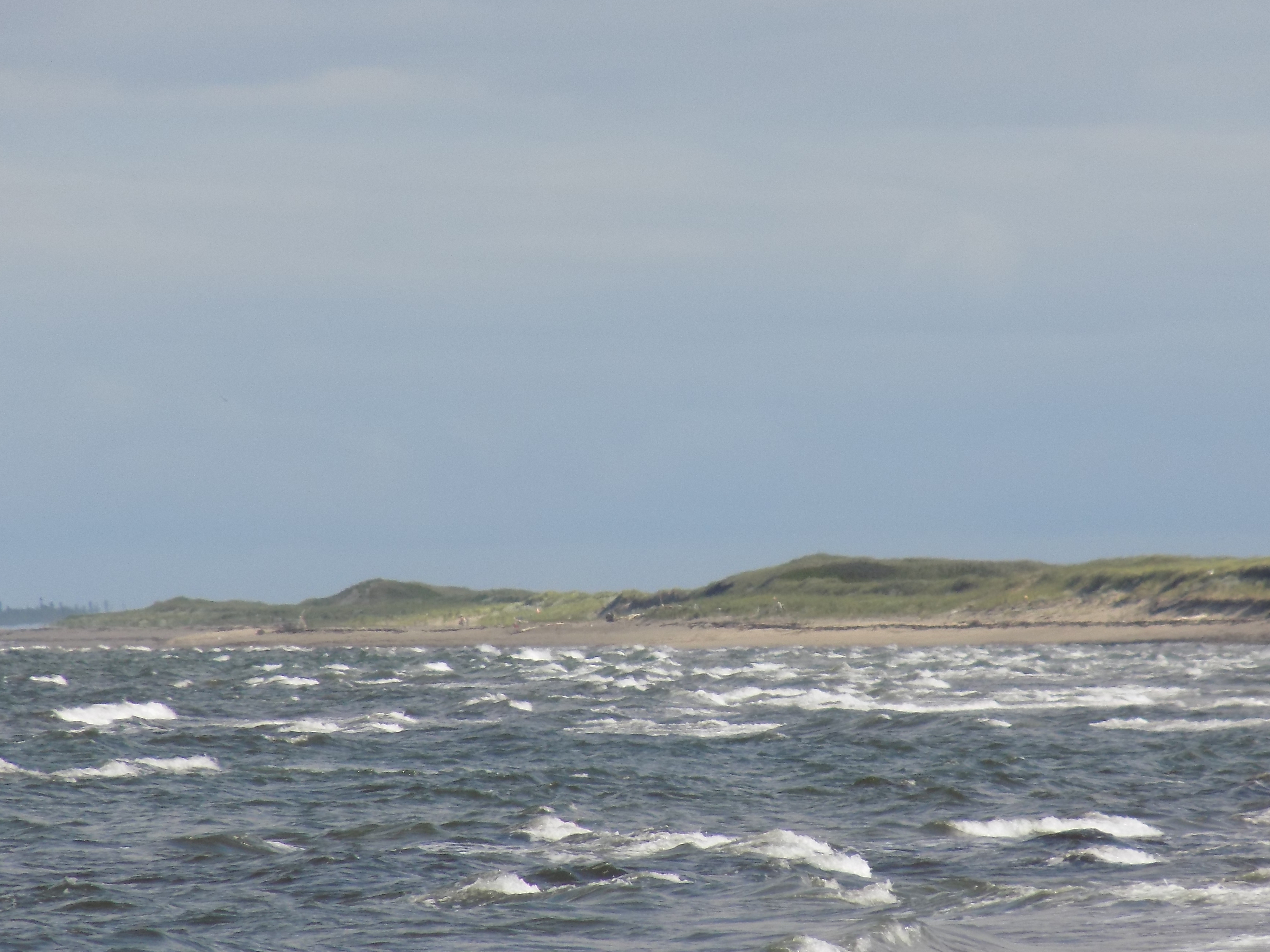
Sand and surf at Kellys Beach in Kouchibouguac National Park. Photo by James Morgan
Parks Canada has done a better job in recent years at admitting the displacement was a mistake. There’s a display at the visitor center and reunions of former park residents are held. Residents of new national parks no longer have to relocate if they live inside park boundaries.
The parks on both sides of the St. Lawrence Seaway were a by-product of the big canal and power project. Officials thought places like Upper Canada Village, the Long Sault Parkway, and Robert Moses State Park would bring in tourists. A 1960 history of Ontario Hydro talks about making the Ontario riverbank “a playground.”
It’s easy to forget though that the buildings at Upper Canada Village are all from the Ontario villages inundated by the seaway in 1958.
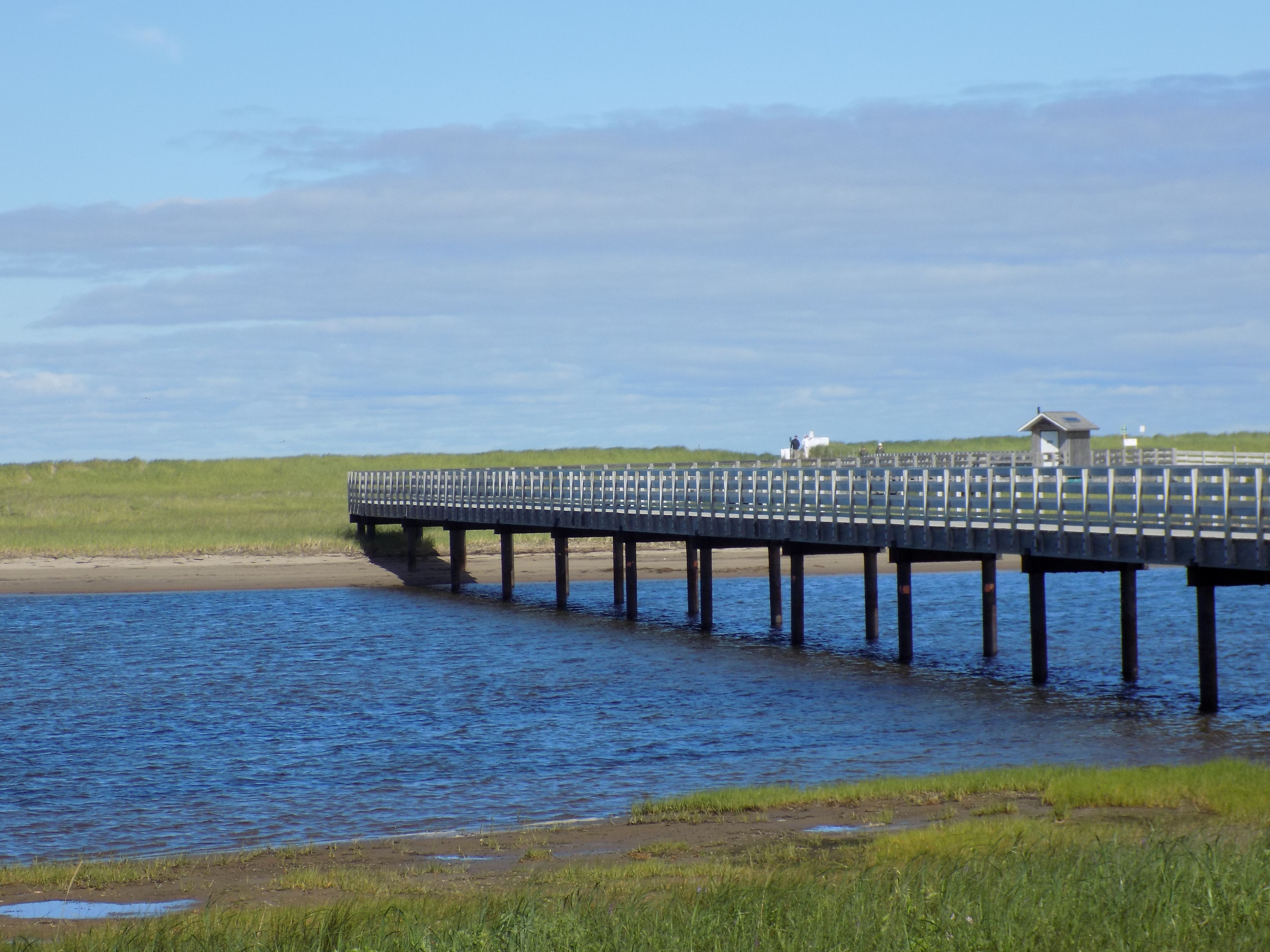
The boardwalk to Kellys Beach crosses tidal pools and salt marsh to connect with a larger barrier dune system. Photo by James Morgan
Parks generally exist to preserve nature and history. When we visit them, we’re always reminded to treat the surroundings with respect. Parks like Kouchibouguac and those along the seaway command an extra amount of respect because our enjoyment of them is at the expense of those who used to call them home.


