The long, long road to precise navigation

High school student Senta Osoling learning to use a sextant, 1942. Photo: Alfred T. Palmer, Library of Congress
Our wiz-bang gadgets are making the miraculous seem commonplace these days.
Which is one reason I wanted to call this to your attention: “Time and Navigation: The Untold Story of Getting from Here to There”.
This new, permanent exhibition opened April 12 at the National Air and Space Museum in Washington, D.C.
And what is the secret to finding exactly where you are on earth? Well, as Heather Goss put it, on Smithsonian’s Air & Space blog, The Daily Planet, “You’re going to need a clock”.

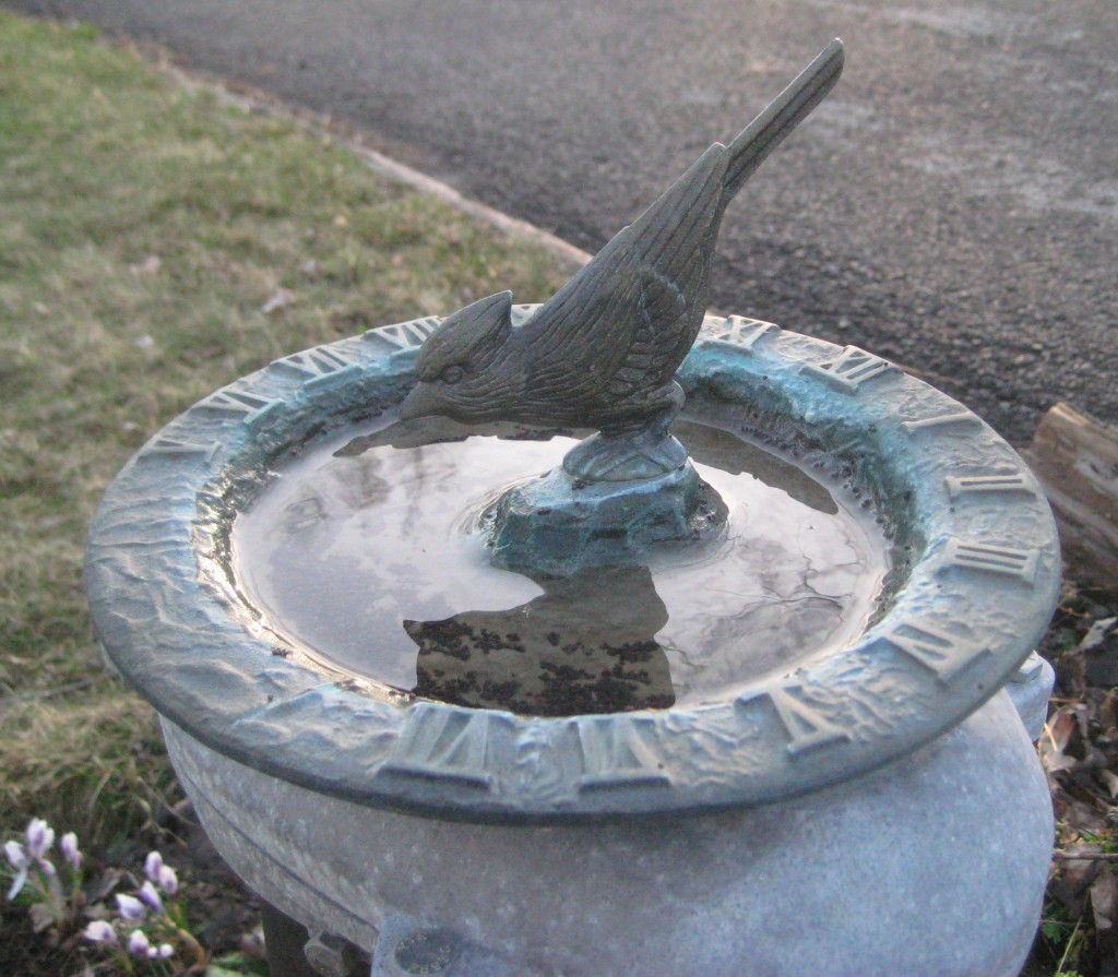
This sundial birdbath only tells time after a fashion. Navigation needed real timepieces. (photo by L. Martin)
An exhibition overview by Edward Rothstein for the New York Times brought this to my attention. I love exhibits that try to convey the scope of critically important accomplishments like this. Because we tend to forget just how hard this particular problem was.
As Rothstein wrote:
The history of navigation is in fact a history of getting lost. Or worse. It is also, as the exhibition shows, a history of gadgets that struggle to take some measure of the world, organizing it, dividing it, turning each spot into a crossroads of invented measurements.
Note that phrase “invented measurements”, because that is how modern man gets this job done. My head explodes when considering these concepts, but you could say that’s the gist of it: time as an invented measurement, coupled with the creation of an invented grid – and that is how we map the world. (These things seem so “real” but to some extent they are artificial constructs. Birds do the same thing perfectly well without clocks, thanks anyway.)
Today, it’s a snap to have GPS at one’s fingertips, providing pin-point placement with zero effort. But think – marvel, if you will – at the heavy mental lifting that went into defining (then solving) this problem. Dreaming up time as a concept and then treating time as something to be measured. The amazing ingenuity it took to invent so many different devices to measure distance (and time) and then link them to establish location. Quoting Rothstein’s article again:
The subject of navigation itself intersects several academic disciplines. The exhibition is a collaboration between two branches of the Smithsonian, the National Museum of American History and the National Air and Space Museum. There are four curators, each involved in a different part of the story: Paul Ceruzzi, aerospace electronics; Roger Connor, aviation; Andrew Johnston, geography; and Carlene Stephens, timekeeping. It is a measure of the centrality of the subject — and the general ignorance about it — that an entire museum could have been devoted to it. Indeed, the show’s achievement is not that it makes the subject seem easy — for that, we can just play with Google Maps or Google Earth — but that it reveals that it is difficult beyond imagining.
As students of this topic already know, figuring out north and south on the globe was the easy part – because that could be determined by checking location against the sun and stars, like Polaris. The devil was in determining east and west (longitude). That really couldn’t be solved until better timepieces were invented. (Which did happen, across centuries.)
Here’s another blog about visiting Greenwich, England (with a photo of the prime meridian!) and the Longitude Act of 1714, establishing a prize of £20,000 (perhaps 3 million in today’s dollars) for the invention of a way to measure longitude at sea with some accuracy. Here’s more about the the inventor and device that eventually took the prize in 1773: John Harrison and his H-4 clock.

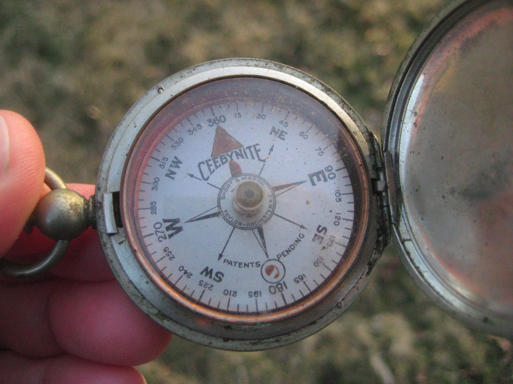
Ye olde hand-held compass: useful for determining direction, but not able to establish location. (photo by L. Martin)
Rothstein says the most modern section of the exhibit is actually something of a let-down. He felt inventions like GPS (“when things become more complex while seeming more elementary in their use”) are not explained as well as sextants. (I wonder, was it too difficult to explain GPS? Or do we bother less to explain what is both new and familiar?)
In any event, GPS.gov gets the connection and is a sponsor of the exhibition.
Humans! A fractious and disorganized species, at times. But capable of great achievements, such as navigation.
If you find yourself in D.C. with any time to spare, this sounds like something worth seeing.
Do you know how to navigate? (For this question, pushing a GPS button doesn’t count!)
Was it hard to learn? What struck you about the subject while you learned the ins and outs?
What close calls did you have by NOT having that skill?
Tags: National Air and Space Museum, science, technology, Time and Navigation


.jpg)

It’s not very sophisticated, but I navigate almost exclusively by using maps. I guess it’s because I love maps. For me, studying the maps of an upcoming trip is almost as enjoyable as going on the trip. Even though I have a GPS, I still much prefer using maps to find my way around. (I find GPS useful only for things like knowing whether to turn left or right at an intersection to get to a Shell station or a Panera Bread restaurant).
A number of years ago I was taking a group of teens and their adult leader for a day paddle through a series of ponds, lakes and streams near Saranac Lake. We started out in their campsite by going over the planned route on the map. After that review the adult leader gave a quick demonstration of his new GPS (common use of GPS was relatively new at that time) He and I had a friendly banter a bit earlier about the use of GPS vs map & compass, my choice of navigation. When he was done with his demonstration I suggested that GPS offered a good way of navigation but then I tossed my compass on the map and suggested that “when the batteries go on the GPS, make sure you have one of these and know how to use it”. He looked at me with a smile and said “touche”. That scene made me think of those that were using sundials and star navigation for so long and what they thought of that new contraption, the compass.
I’m an instructor on the staff of the Adirondack Voyageur Training which is a Boy Scout adult leader wilderness canoeing and backpacking training program. We ONLY teach map and compass, precisely for the reason I just commented on. Battery operated devices are only good as long as the batteries hold out. It is not wise to go into the wilderness equipped with ONLY battery operated GPS systems. Besides, I love maps – old ones give you history, new ones, with the help of a compass, tell you where you are.
I love maps. All kinds of maps. Pin a map of the world to a wall, close your eyes, and stick a pin in it. Now, explore this random point…or, better yet, go there. Can’t do this with a GPS. Nope. Thanks for a great post, Lucy.
GPS is technology and technology will fail you when you need it most. -30? Just how long do you think those batteries will last if you’re out for a few days? Map, compass, and common sense (and the ability to use all three) will get you a lot further than repeatedly thumbing the ‘GoTo’ button.
Maps are our world and our awareness of our place in it; familiarity of same speaks to our self awareness. GPS skill merely reflects our cog-place in a machine.
BTW, the Smithsonian exhibit is terrific. Was down there last week and really enjoyed the walk through Navigation history. Remarkable exhibits on how we got to be where we are and how we in fact know that we’re there.